No disponible
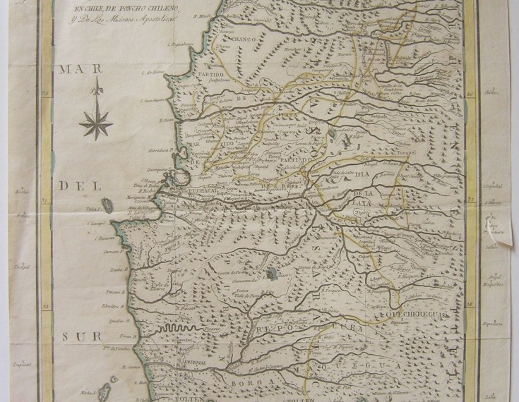
Map of the country inhabited by the Araucanians in Chile…
Second half 18th century
ANONYMOUS
Map of Chile and its orography.
Italy, second half of the 18th century.
Etching and burin on laid paper.
Some relief elements, coast, rivers, etc., have been watercolored.
Size: 50 x 302 mm
No disponible
[ssba]

